
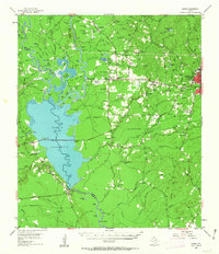
1955 Map of Curtis
USGS Topo · Published 1956About this map
Dam B Reservoir dominates the western landscape of this mid-1950s survey, where the Angelina River and Neches River converge. The area reflects a deep historical memory, marked by several memorial sites including the Bevelport Townsite and tributes to early figures like George Washington Smythe. While the reservoir signifies modern water management, the surrounding terrain is dotted with traditional local institutions such as Beech Grove Sch and Nedville Ch.
Find a feature on this map
108 named features on this map. Tap any name to fly to it.
Don’t see what you’re looking for? This feature index may not catch every label — zoom into the map to look around manually.
Map Details
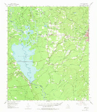
Editions of this 1955 Curtis Map
3 editions found
Other maps of this area

1931 · Zavalla
USGS Topo · 1:62,500

1952 · Lake Charles
USGS Topo · 1:250,000

1953 · Alexandria
USGS Topo · 1:250,000

1953 · Palestine
USGS Topo · 1:250,000

1954 · Lake Charles
USGS Topo · 1:250,000

1954 · Beaumont
USGS Topo · 1:250,000

1955 · Alexandria
USGS Topo · 1:250,000

1955 · Roganville
USGS Topo · 1:62,500

1955 · Woodville
USGS Topo · 1:62,500

1957 · Beaumont
USGS Topo · 1:250,000