
1958 Map of Mc Gee Bend
USGS Topo · Published 1959About this map
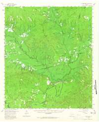
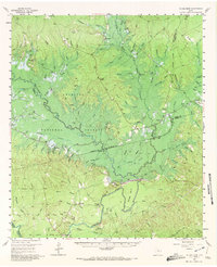
Angelina National Forest covers the majority of this East Texas terrain, shortly before the landscape was permanently altered by the creation of the Sam Rayburn Reservoir. The map shows the Mc Gee Bend Dam (Under Construction) on the Angelina River, a massive engineering project that would eventually submerge many of the riverfront features recorded here. This survey is particularly valuable for genealogists, as it preserves the exact locations of numerous family-named landmarks and resting places like McGilberry Cem, Hensarling Cem, and Blackland Cem that predate the flood pool. Small settlements such as Needmore and White City appear alongside historical sites like Zavala and former town centers like Veach and Millertown, offering a clear view of the rural community structure before the river's impoundment redefined the region's geography.
Find a feature on this map
97 named features on this map. Tap any name to fly to it.
Don’t see what you’re looking for? This feature index may not catch every label — zoom into the map to look around manually.
Map Details
Editions of this 1958 Mc Gee Bend Map
Other maps of this area

1931 · Zavalla
USGS Topo · 1:62,500

1952 · Lake Charles
USGS Topo · 1:250,000

1953 · Alexandria
USGS Topo · 1:250,000

1953 · Palestine
USGS Topo · 1:250,000

1954 · Lake Charles
USGS Topo · 1:250,000

1954 · Beaumont
USGS Topo · 1:250,000

1955 · Alexandria
USGS Topo · 1:250,000

1955 · Roganville
USGS Topo · 1:62,500

1955 · Woodville
USGS Topo · 1:62,500

1955 · Curtis
USGS Topo · 1:62,500