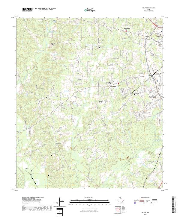
2022 Map of Keltys
USGS Topo · Published 2022About this map
The Lufkin outskirts and northern timberlands of Angelina County are defined by a network of rural settlements and family cemeteries. Small communities like Peavy, Providence, and Keltys are situated among the headwaters of numerous creeks, including Moccasin Cr and Hurricane Cr. The map reveals a dense concentration of burial grounds such as Old Union Cem, Narraway Cem, and the Dubose - Fairchild Cem, which are vital for genealogists tracing local lineage in East Texas.
Find a feature on this map
156 named features on this map. Tap any name to fly to it.
Don’t see what you’re looking for? This feature index may not catch every label — zoom into the map to look around manually.
Map Details
Editions of this 2022 Keltys Map
This is the sole edition of this map. No revisions or reprints were ever made.
Other maps of this area

1932 · Manning
USGS Topo · 1:62,500

1949 · Lufkin
USGS Topo · 1:62,500

1949 · Clawson
USGS Topo · 1:24,000

1949 · Lufkin
USGS Topo · 1:24,000

1949 · Keltys
USGS Topo · 1:24,000

1950 · Keltys
USGS Topo · 1:24,000

1950 · Lufkin
USGS Topo · 1:24,000

1950 · Clawson
USGS Topo · 1:24,000

1950 · Redland
USGS Topo · 1:24,000

1951 · Wells
USGS Topo · 1:24,000