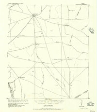
1919 Map of Fairfield
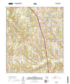
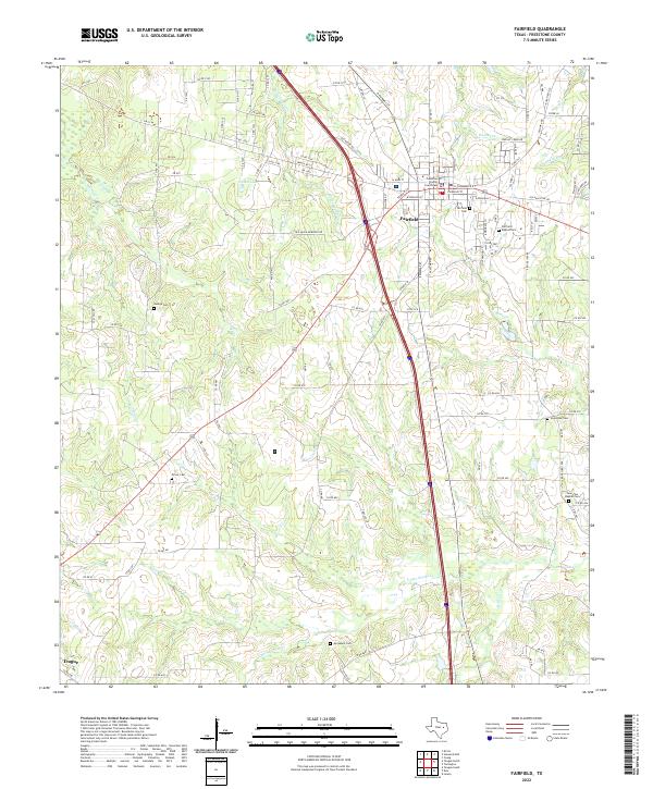
USGS Topo · Published 1956About this map
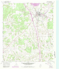
Fairfield P.O. serves as the central hub for this rural Freestone County landscape, where early 20th-century road networks converge from outlying settlements like Dew and Turlington P.O.. The survey, prepared under the direction of Col. W. P. Stokey and Major W. G. Caples, reveals a territory defined by its watercourses and early transit corridors. The southwestern corner is particularly active, marked by the presence of the Trinity and Brazos Valley Railway passing through Freestone P.O. near Mustang (Sanders) Creek.
Find a feature on this map
25 named features on this map. Tap any name to fly to it.
Don’t see what you’re looking for? This feature index may not catch every label — zoom into the map to look around manually.
Map Details
Editions of this 1919 Fairfield Map
This is the sole edition of this map. No revisions or reprints were ever made.
Historical Maps of Teague Through Time
7 maps found