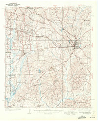
1939 Map of Henderson
USGS Topo · Published 1939About this map
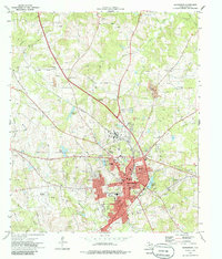
The city of Henderson serves as the focal point of this 1930s survey, situated at a bustling intersection of road and rail networks during the East Texas oil boom. The landscape is defined by a dense network of educational and spiritual centers, reflecting the rapid community growth of the era. Settlements such as Joinerville, Turnertown, and Selman City are prominent, alongside infrastructure like the Pumping Station and numerous transmission lines that supported the region's industrial expansion.
Find a feature on this map
102 named features on this map. Tap any name to fly to it.
Don’t see what you’re looking for? This feature index may not catch every label — zoom into the map to look around manually.
Map Details
Editions of this 1939 Henderson Map
This is the sole edition of this map. No revisions or reprints were ever made.
Historical Maps of Henderson Through Time
9 maps found