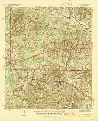
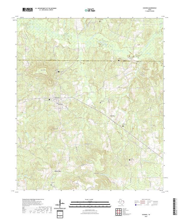
1943 Map of Cushing
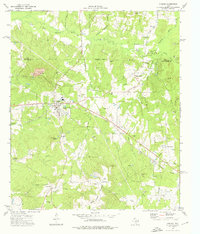
USGS Topo · Published 1955About this map
Cushing and the surrounding woodlands of East Texas are defined here by a network of small farming communities and country schools during the early 1940s. The Southern Pacific railroad serves as the primary corridor for commerce, linking the settlements of Sacul and Reklaw as it cuts through the bottomlands. The landscape is deeply tied to its watercourses, with the East Fork Angelina River and Angelina River winding through the central part of the quadrangle. Local genealogy is well-documented through numerous rural institutions such as First Oak Grove Ch, Mays Cem Ch, and Mountain Grove Sch. Of particular interest to local historians are smaller, distinctively named locales like Freekeytown and Looneyville, which illustrate the density of the rural population before mid-century shifts toward larger urban centers. High points like Elk Mountain overlook a terrain rich with small lakes and creek branches.
Find a feature on this map
63 named features on this map. Tap any name to fly to it.
Don’t see what you’re looking for? This feature index may not catch every label — zoom into the map to look around manually.
Map Details
Editions of this 1943 Cushing Map
This is the sole edition of this map. No revisions or reprints were ever made.
Historical Maps of Cushing Through Time
8 maps found