
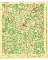
1943 Map of Troup
USGS Topo · Published 1943About this map
The intersection of the Missouri Pacific railroad and local timber and farming interests defines this East Texas landscape as it appeared in the late 1930s. Centered on the town of Troup, the survey area spans the border between SMITH CO and CHEROKEE CO, showing a high density of rural schools and churches such as New Hope Sch, Blackjack Sch, and Henry Chapel. The numerous water bodies, including Seay Club Lake and Troup Club Lake, suggest the area's development for both community recreation and industrial utility during the mid-twentieth century.
Find a feature on this map
60 named features on this map. Tap any name to fly to it.
Don’t see what you’re looking for? This feature index may not catch every label — zoom into the map to look around manually.
Map Details
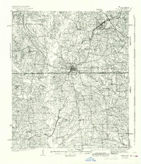
Editions of this 1943 Troup Map
Other maps of this area

1935 · Henderson
USGS Topo · 1:48,000

1936 · Kilgore
USGS Topo · 1:48,000

1937 · Troupe
USGS Topo · 1:48,000

1938 · Winona
USGS Topo · 1:48,000

1939 · Henderson
USGS Topo · 1:62,500

1940 · Kilgore
USGS Topo · 1:62,500

1943 · Winona
USGS Topo · 1:62,500

1943 · Cushing
USGS Topo · 1:62,500

1943 · Rusk
USGS Topo · 1:62,500

1945 · Cushing
USGS Topo · 1:62,500