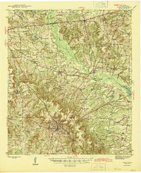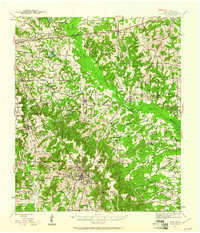
1943 Map of Rusk
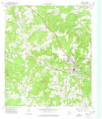
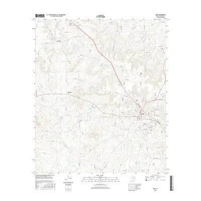
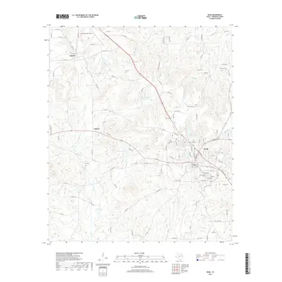
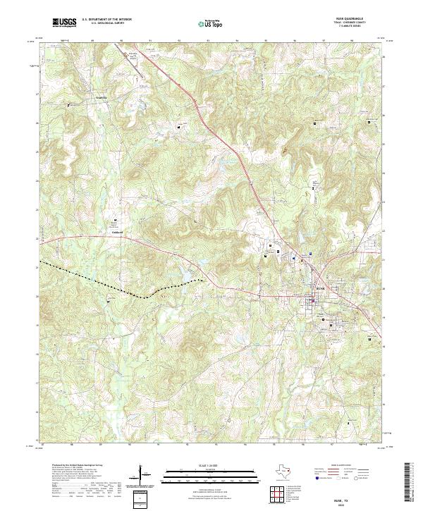
USGS Topo · Published 1961About this map
Cherokee County’s rural character in the early 1940s is defined by a dense network of country schools and churches that served small, often family-centered communities. A major rail intersection dominates the southern portion of the sheet, where the Missouri Pacific and Southern Pacific lines meet near the massive grounds of the State Hospital. The landscape is a patchwork of wooded creek bottoms like Mud Creek and Caney Creek, with uplands marked by named peaks such as Sampson and Acker Mtn.
Find a feature on this map
65 named features on this map. Tap any name to fly to it.
Don’t see what you’re looking for? This feature index may not catch every label — zoom into the map to look around manually.
Map Details
Editions of this 1943 Rusk Map
This is the sole edition of this map. No revisions or reprints were ever made.
Historical Maps of Jacksonville Through Time
8 maps found