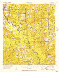
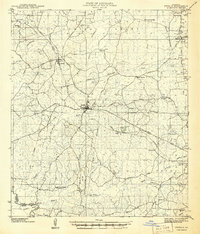
1956 Map of Logansport
USGS Topo · Published 1957About this map
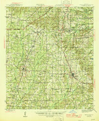
The Sabine River serves as the winding centerpiece for this mid-century boundary land where De Soto Parish, Louisiana, meets Shelby County, Texas. This survey captures a rural landscape defined by wood-frame community centers and agricultural life, anchored by Logansport and smaller hubs like Stanley and Hunter. The presence of the Texas and Pacific and Southern Pacific railroads indicates the area's role as a transit corridor, while the expansive Sabine National Forest dominates the southwestern quadrant. Local genealogy is well-represented through numerous landmark churches and schools, such as Mt Olivet Ch, New Bethany Ch, and the Third Ward Sch. Notable terrain features like Wildcat Bend and the oxbows of Horseshoe Lake illustrate the complex hydrology of the river bottomlands before major 20th-century alterations. Scattered Oil Wells and a designated Gas Field in the north suggest the emerging industrial footprint of energy extraction alongside established farming.
Find a feature on this map
52 named features on this map. Tap any name to fly to it.
Don’t see what you’re looking for? This feature index may not catch every label — zoom into the map to look around manually.
Map Details
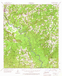
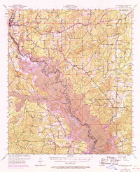
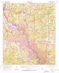
Editions of this 1956 Logansport Map
4 editions found
Other maps of this area
1941 · Zwolle
USGS Topo · 1:62,500

1941 · Pelican
USGS Topo · 1:62,500
1943 · Pleasant Hill
USGS Topo · 1:62,500

1944 · Logansport
USGS Topo · 1:62,500

1944 · Patroon
USGS Topo · 1:62,500
1944 · Zwolle
USGS Topo · 1:62,500
1944 · Pleasant Hill
USGS Topo · 1:62,500
1945 · Grand Cane
USGS Topo · 1:62,500
1945 · Socagee Bayou
USGS Topo · 1:62,500
1945 · Mansfield
USGS Topo · 1:62,500