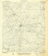
1956 Map of Logansport
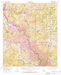
USGS Topo · Published 1971About this map
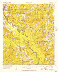
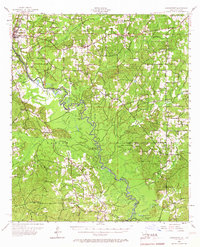
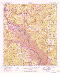
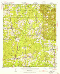
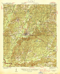
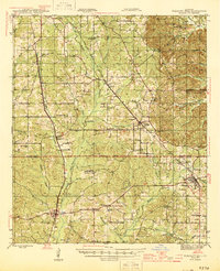
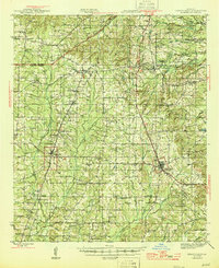
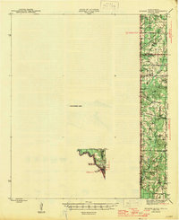
The Sabine National Forest dominates the southern landscape of this 1950s survey, showing the intricate wetlands and sloughs that define the Louisiana-Texas border. Centered on the town of Logansport, the map reveals a region tied to the Southern Pacific railroad and a burgeoning energy economy, evidenced by the Gas Field near Clement. The 1969 photorevisions, marked in purple, illustrate the dramatic environmental shift as the rising waters of the Toledo Bend Reservoir began to alter the valley floor, submerging older river bends like Wildcat Bend and Tuckers Lake.
Find a feature on this map
86 named features on this map. Tap any name to fly to it.
Don’t see what you’re looking for? This feature index may not catch every label — zoom into the map to look around manually.
Map Details
Editions of this 1956 Logansport Map
4 editions found
Other maps of this area
1941 · Zwolle
USGS Topo · 1:62,500

1941 · Pelican
USGS Topo · 1:62,500
1943 · Pleasant Hill
USGS Topo · 1:62,500

1944 · Logansport
USGS Topo · 1:62,500

1944 · Patroon
USGS Topo · 1:62,500
1944 · Zwolle
USGS Topo · 1:62,500
1944 · Pleasant Hill
USGS Topo · 1:62,500
1945 · Grand Cane
USGS Topo · 1:62,500
1945 · Socagee Bayou
USGS Topo · 1:62,500
1945 · Mansfield
USGS Topo · 1:62,500