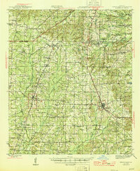
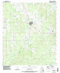
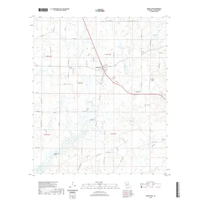
1945 Map of Grand Cane
USGS Topo · Published 1945About this map
Grand Cane and the surrounding rural landscape of De Soto Parish are depicted here as they appeared in the early 1940s. The map illustrates a region deeply connected to its agricultural heritage, evidenced by the presence of significant estates such as Park Dots Plantation, Buena Vista Plantation, and Glen Craven Plantation. These properties, alongside smaller settlements like Keatchie and Gloster, are linked by a network of drainage systems including Castor Bayou and Bayou Pierre.
Find a feature on this map
88 named features on this map. Tap any name to fly to it.
Don’t see what you’re looking for? This feature index may not catch every label — zoom into the map to look around manually.
Map Details
Editions of this 1945 Grand Cane Map
This is the sole edition of this map. No revisions or reprints were ever made.
Historical Maps of Stonewall Through Time
10 maps found
1945 Grand Cane
De Soto Parish, LA
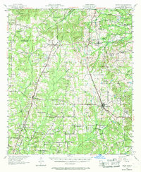
1957 Grand Cane
De Soto Parish, LA
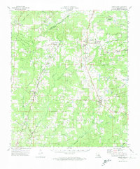
1972 Grand Cane
De Soto Parish, LA
1972 Grand Cane
De Soto Parish, LA
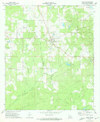
1994 Grand Cane
De Soto Parish, LA
2012 Grand Cane
De Soto Parish, LA
2015 Grand Cane
De Soto Parish, LA
2018 Grand Cane
De Soto Parish, LA
2020 Grand Cane
De Soto Parish, LA
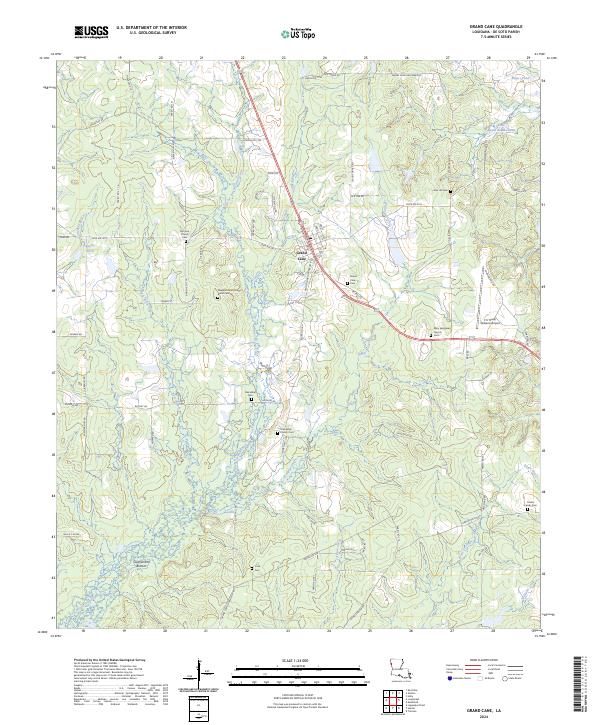
2024 Grand Cane
De Soto Parish, LA