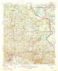
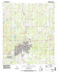
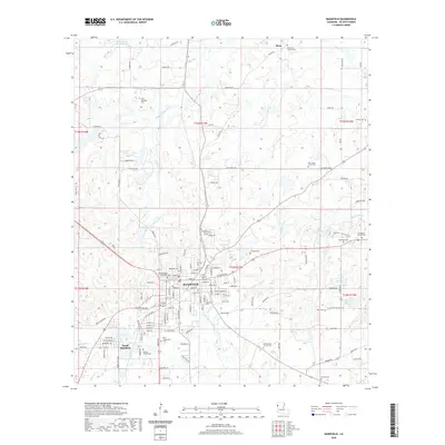
1947 Map of Mansfield
USGS Topo · Published 1947About this map
Mansfield serves as the focal point of this mid-century survey, situated at a vital railroad junction where the Kansas City Southern and Texas and Pacific lines intersect. The landscape is characterized by the intricate drainage systems of Bayou Pierre and Grand Bayou, which feed into a complex network of wetlands and lakes including Smithport Lake and Siphorien Lake. These waterways, interspersed with family-named landmarks like Gay Island and Gravel Point, define the rural character of De Soto Parish.
Find a feature on this map
114 named features on this map. Tap any name to fly to it.
Don’t see what you’re looking for? This feature index may not catch every label — zoom into the map to look around manually.
Map Details
Editions of this 1947 Mansfield Map
This is the sole edition of this map. No revisions or reprints were ever made.
Historical Maps of Mansfield Through Time
10 maps found
1945 Mansfield
De Soto Parish, LA
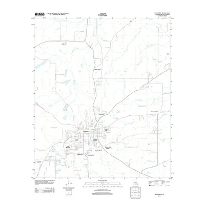
1947 Mansfield
De Soto Parish, LA
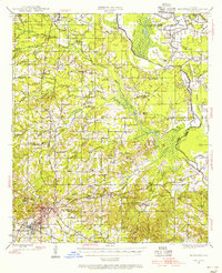
1957 Mansfield
De Soto Parish, LA
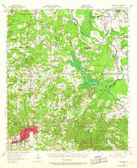
1980 Mansfield
De Soto Parish, LA
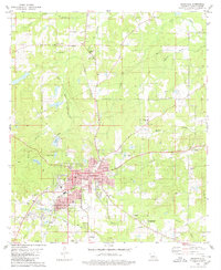
1994 Mansfield
De Soto Parish, LA
2012 Mansfield
De Soto Parish, LA
2015 Mansfield
De Soto Parish, LA
2018 Mansfield
De Soto Parish, LA
2020 Mansfield
De Soto Parish, LA
2024 Mansfield
De Soto Parish, LA