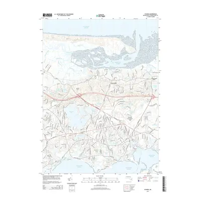
2015 Map of Hyannis
USGS Topo · Published 2015About this map
Barnstable and Yarmouth Port anchor this coastal landscape, situated between the Atlantic Ocean and a dense network of freshwater bodies. The central interior is dominated by the extensive Wequaquet Lake, surrounded by smaller features like Shallow Pond, Hathaway Ponds, and No Bottom Pond. This 2015 data reflects the established modern infrastructure of the mid-Cape, including the Cape Cod Community Coll campus and the sprawling Barnstable Municipal Airport-Boardman/ Polando Field.
Find a feature on this map
70 named features on this map. Tap any name to fly to it.
Don’t see what you’re looking for? This feature index may not catch every label — zoom into the map to look around manually.
Map Details
Editions of this 2015 Hyannis Map
This is the sole edition of this map. No revisions or reprints were ever made.
Other maps of this area

1887 · Yarmouth
USGS Topo · 1:62,500

1888 · Barnstable
USGS Topo · 1:62,500

1889 · Yarmouth
USGS Topo · 1:62,500

1893 · Yarmouth
USGS Topo · 1:62,500

1893 · Barnstable
USGS Topo · 1:62,500

1938 · Sandwich
USGS Topo · 1:31,680
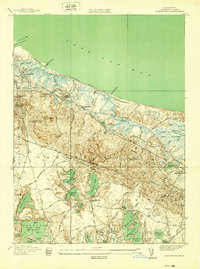
1939 · Sandwich
USGS Topo · 1:24,000
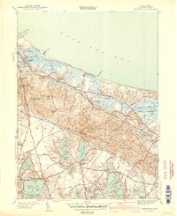
1940 · Sandwich
USGS Topo · 1:31,680
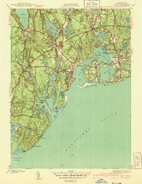
1941 · Cotuit
USGS Topo · 1:31,680

1942 · Cape Cod Bay
USGS Topo · 1:125,000
Featured Places
- Yarmouth, MA
- Hyannis, Barnstable
- Osterville, Barnstable
- West Barnstable, Barnstable
- Cobbs Village, Barnstable