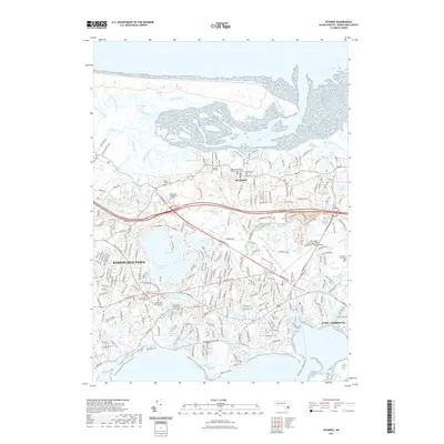
2021 Map of Hyannis
USGS Topo · Published 2021About this map
Barnstable Town and West Yarmouth anchor this detailed coastal survey, illustrating the complex geography of Cape Cod's mid-section. The landscape is defined by its transition from the northern Great Marshes and Scorton Creek to the southern harbor areas near Craigville. Significant institutional landmarks are present, including the Barnstable County Superior Court House and Cape Cod Community College, alongside the expansive Barnstable Municipal Airport. The map is a vital resource for genealogists, documenting numerous historic burial grounds such as the Centerville Ancient Cem, Lothrop Hill Cem, and the Saint Francis Xaviers Cem. The hydrologic network is particularly dense, featuring a chain of kettle ponds like Garretts Pond, Shallow Pond, and Hathaway Ponds, which influenced early road placements along corridors like Falmouth Rd and W Main St.
Find a feature on this map
103 named features on this map. Tap any name to fly to it.
Don’t see what you’re looking for? This feature index may not catch every label — zoom into the map to look around manually.
Map Details
Editions of this 2021 Hyannis Map
This is the sole edition of this map. No revisions or reprints were ever made.
Other maps of this area

1887 · Yarmouth
USGS Topo · 1:62,500

1888 · Barnstable
USGS Topo · 1:62,500

1889 · Yarmouth
USGS Topo · 1:62,500

1893 · Yarmouth
USGS Topo · 1:62,500

1893 · Barnstable
USGS Topo · 1:62,500

1938 · Sandwich
USGS Topo · 1:31,680
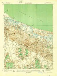
1939 · Sandwich
USGS Topo · 1:24,000
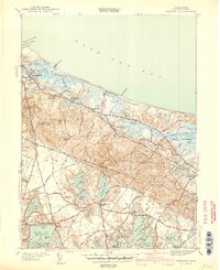
1940 · Sandwich
USGS Topo · 1:31,680
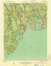
1941 · Cotuit
USGS Topo · 1:31,680

1942 · Cape Cod Bay
USGS Topo · 1:125,000
Featured Places
- Yarmouth, MA
- Hyannis, Barnstable
- Osterville, Barnstable
- West Barnstable, Barnstable
- Cobbs Village, Barnstable