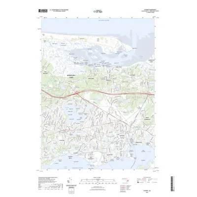
2023 Map of Hyannis
USGS Topo · Published 2023About this map
Sandy Neck Dunes and the barrier beach system of Barnstable Harbor protect the extensive Great Marshes in this modern survey of the Cape Cod mid-section. The landscape is a dense network of coastal settlements stretching from West Barnstable and Yarmouth Port on the north shore to the bustling hub of Hyannis and Hyannis Port on the Atlantic side. Genealogy researchers will find numerous burial grounds documented, including the Lothrop Hill Cem and the Centerville Ancient Cem.
Find a feature on this map
343 named features on this map. Tap any name to fly to it.
Don’t see what you’re looking for? This feature index may not catch every label — zoom into the map to look around manually.
Map Details
Editions of this 2023 Hyannis Map
This is the sole edition of this map. No revisions or reprints were ever made.
Other maps of this area

1887 · Yarmouth
USGS Topo · 1:62,500

1888 · Barnstable
USGS Topo · 1:62,500

1889 · Yarmouth
USGS Topo · 1:62,500

1893 · Yarmouth
USGS Topo · 1:62,500

1893 · Barnstable
USGS Topo · 1:62,500

1938 · Sandwich
USGS Topo · 1:31,680
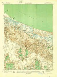
1939 · Sandwich
USGS Topo · 1:24,000
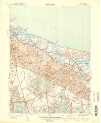
1940 · Sandwich
USGS Topo · 1:31,680
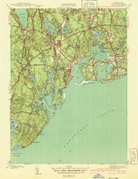
1941 · Cotuit
USGS Topo · 1:31,680

1942 · Cape Cod Bay
USGS Topo · 1:125,000
Featured Places
- Yarmouth, MA
- Hyannis, Barnstable
- Osterville, Barnstable
- West Barnstable, Barnstable
- Cobbs Village, Barnstable