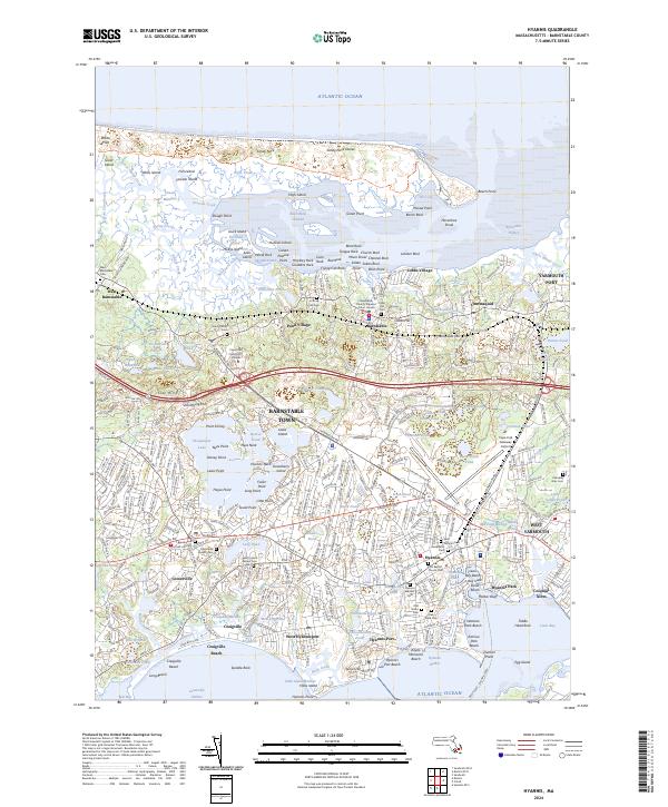
2024 Map of Hyannis
USGS Topo · Published 2024About this map
Barnstable Harbor and the expansive Great Marshes define the northern coastline of this Cape Cod landscape, where the long finger of Sandy Neck protects the inner waters from the Atlantic Ocean. The area is densely patterned with historic villages and burial grounds, including Pond Village, Cummaquid, and Centerville. Local history and genealogy are anchored by several notable sites, such as the Centerville Ancient Cem, Lothrop Hill Cem, and the Barnstable County Superior Court House.
Find a feature on this map
185 named features on this map. Tap any name to fly to it.
Don’t see what you’re looking for? This feature index may not catch every label — zoom into the map to look around manually.
Map Details
Editions of this 2024 Hyannis Map
This is the sole edition of this map. No revisions or reprints were ever made.
Other maps of this area

1887 · Yarmouth
USGS Topo · 1:62,500

1888 · Barnstable
USGS Topo · 1:62,500

1889 · Yarmouth
USGS Topo · 1:62,500

1893 · Yarmouth
USGS Topo · 1:62,500

1893 · Barnstable
USGS Topo · 1:62,500

1938 · Sandwich
USGS Topo · 1:31,680
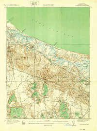
1939 · Sandwich
USGS Topo · 1:24,000
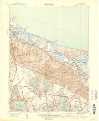
1940 · Sandwich
USGS Topo · 1:31,680
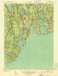
1941 · Cotuit
USGS Topo · 1:31,680

1942 · Cape Cod Bay
USGS Topo · 1:125,000
Featured Places
- Yarmouth, MA
- Hyannis, Barnstable
- Osterville, Barnstable
- West Barnstable, Barnstable
- Cobbs Village, Barnstable