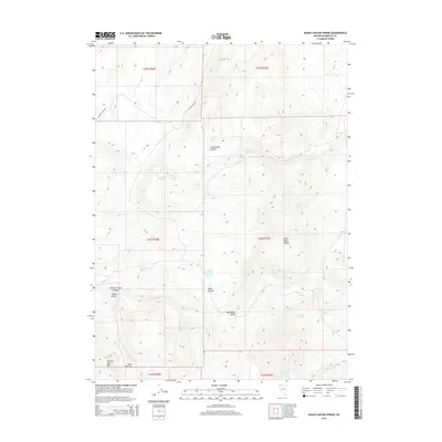
2015 Map of Idaho Canyon Spring
USGS Topo · Published 2015About this map
The Black Rock Range and its intricate network of spring-fed canyons define this high-desert landscape in Humboldt County. Water is the primary marker of life and activity here, with named sources such as Santa Claus Spring, McCully Spring, and Parman Spring dotting the terrain. These water points, along with the Dry Lake Springs, historically supported the ranching and migratory patterns of the region, evident in landmarks like Buck Pasture and the winding Summit Lake Rd.
Find a feature on this map
31 named features on this map. Tap any name to fly to it.
Don’t see what you’re looking for? This feature index may not catch every label — zoom into the map to look around manually.
Map Details
Editions of this 2015 Idaho Canyon Spring Map
This is the sole edition of this map. No revisions or reprints were ever made.
Other maps of this area

1886 · Disaster
USGS Topo · 1:250,000
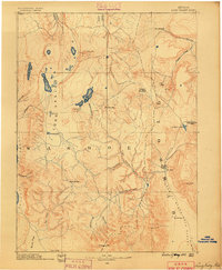
1889 · Long Valley
USGS Topo · 1:250,000

1893 · Disaster
USGS Topo · 1:250,000

1954 · Vya
USGS Topo · 1:250,000

1958 · Vya
USGS Topo · 1:250,000

1962 · Vya
USGS Topo · 1:250,000
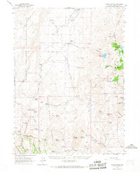
1965 · Idaho Canyon
USGS Topo · 1:62,500
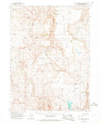
1965 · Rock Spring Table
USGS Topo · 1:62,500
1972 · Burnt Springs
USGS Topo · 1:24,000
1972 · Red Mountain
USGS Topo · 1:24,000