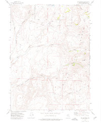
1972 Map of Red Mountain
USGS Topo · Published 1976About this map
The Summit Lake Indian Reservation Boundary defines much of the northern landscape in this high-desert basin of Humboldt County. The terrain is marked by the rugged transition between the Black Range and the prominent height of Red Mountain. Historical movement through this difficult country is traced by the Old Tollhouse Military Trail and the Old Military Trail, paths that reflect the region's late 19th-century frontier history when routes were established to connect remote outposts and ranching operations.
Find a feature on this map
20 named features on this map. Tap any name to fly to it.
Don’t see what you’re looking for? This feature index may not catch every label — zoom into the map to look around manually.
Map Details
Editions of this 1972 Red Mountain Map
This is the sole edition of this map. No revisions or reprints were ever made.
Other maps of this area

1886 · Disaster
USGS Topo · 1:250,000

1889 · Long Valley
USGS Topo · 1:250,000

1893 · Disaster
USGS Topo · 1:250,000

1954 · Vya
USGS Topo · 1:250,000

1958 · Vya
USGS Topo · 1:250,000

1962 · Vya
USGS Topo · 1:250,000

1965 · Idaho Canyon
USGS Topo · 1:62,500

1965 · Rock Spring Table
USGS Topo · 1:62,500

1972 · Mud Meadow
USGS Topo · 1:24,000

1972 · Soldier Meadow
USGS Topo · 1:24,000