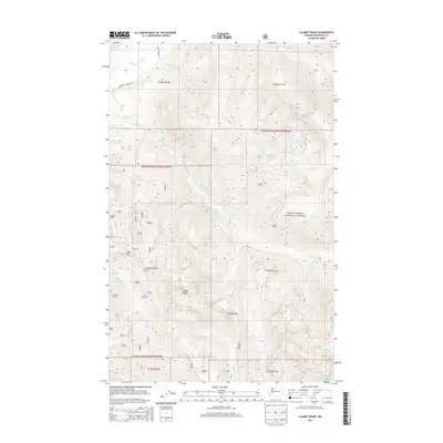
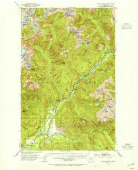
2014 Map of Illabot Peaks
USGS Topo · Published 2014About this map
The Illabot Peaks anchor this remote section of the Mount Baker National Forest in Skagit County. This high-altitude landscape is defined by its glacial hydrology, with a dense network of alpine water bodies including Falls Lake, Marten Lake, and the distinctive Jug Lake and Lower Jug Lake near the southeastern boundary. Access into these upper elevations is limited to corridors like the Illabot Peaks Rd and the Rockport Cascade Rd skirting the northern edges near the Skagit River. Natural pathways such as Bettys Pass highlight the historic routes used to navigate between the drainages of Illabot Cr and Grade Cr. This survey provides a precise look at the drainage patterns of White Cr, Iron Cr, and Bluebell Cr as they descend from the steep summits, offering a detailed record of the wilderness as it appeared in the early 21st century.
Find a feature on this map
28 named features on this map. Tap any name to fly to it.
Don’t see what you’re looking for? This feature index may not catch every label — zoom into the map to look around manually.
Map Details
Editions of this 2014 Illabot Peaks Map
This is the sole edition of this map. No revisions or reprints were ever made.
Other maps of this area
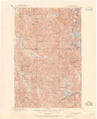
1899 · Glacier Peak
USGS Topo · 1:125,000
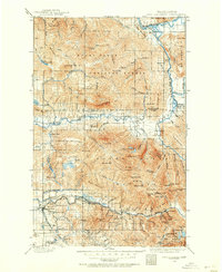
1899 · Stillaguamish
USGS Topo · 1:125,000
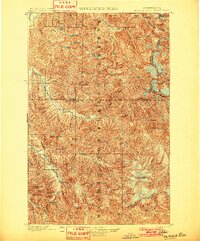
1901 · Glacier Peak
USGS Topo · 1:125,000
1901 · Stilaguamish
USGS Topo · 1:125,000
1909 · Mt Baker
USGS Topo · 1:192,000
1915 · Mt. Baker
USGS Topo · 1:250,000
1952 · Lake Shannon
USGS Topo · 1:62,500
1953 · Marblemount
USGS Topo · 1:62,500

1955 · Concrete
USGS Topo · 1:250,000

1958 · Concrete
USGS Topo · 1:250,000