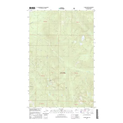
2017 Map of Illabot Peaks
USGS Topo · Published 2017About this map
The high ridges of the Mount Baker National Forest dominate this landscape, centered on the towering Illabot Peaks and Suiattle Mtn. This high-altitude drainage system is defined by a dense network of glacial and alpine water bodies, including Marten Lake, Lake Louise, and the tiered basins of Falls Lake and Upper Falls Lake. The topography is marked by significant elevation changes, with Bettys Pass providing a named point of transit through the steep terrain between watershed divides.
Find a feature on this map
44 named features on this map. Tap any name to fly to it.
Don’t see what you’re looking for? This feature index may not catch every label — zoom into the map to look around manually.
Map Details
Editions of this 2017 Illabot Peaks Map
This is the sole edition of this map. No revisions or reprints were ever made.
Other maps of this area
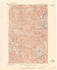
1899 · Glacier Peak
USGS Topo · 1:125,000
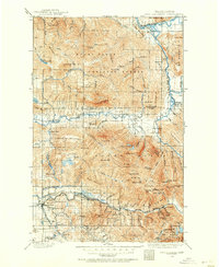
1899 · Stillaguamish
USGS Topo · 1:125,000
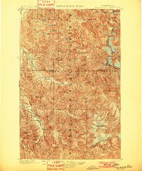
1901 · Glacier Peak
USGS Topo · 1:125,000
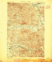
1901 · Stilaguamish
USGS Topo · 1:125,000
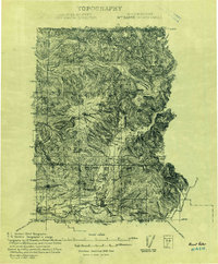
1909 · Mt Baker
USGS Topo · 1:192,000
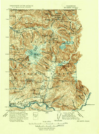
1915 · Mt. Baker
USGS Topo · 1:250,000
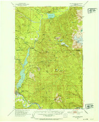
1952 · Lake Shannon
USGS Topo · 1:62,500
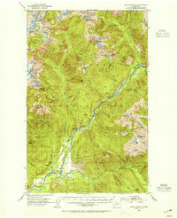
1953 · Marblemount
USGS Topo · 1:62,500

1955 · Concrete
USGS Topo · 1:250,000

1958 · Concrete
USGS Topo · 1:250,000