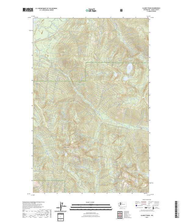
2023 Map of Illabot Peaks
USGS Topo · Published 2023About this map
Illabot Peaks and the high ridges of Suiattle Mtn dominate this protected landscape within the Mount Baker National Forest and Glacier Peak Wilderness. This modern survey records the high-elevation hydrology and trail networks that define the region, including the protected corridor of the Illabot Wild and Scenic River and the Skagit Wild and Scenic River along the northwestern boundary.
Find a feature on this map
33 named features on this map. Tap any name to fly to it.
Don’t see what you’re looking for? This feature index may not catch every label — zoom into the map to look around manually.
Map Details
Editions of this 2023 Illabot Peaks Map
This is the sole edition of this map. No revisions or reprints were ever made.
Other maps of this area

1899 · Glacier Peak
USGS Topo · 1:125,000

1899 · Stillaguamish
USGS Topo · 1:125,000

1901 · Glacier Peak
USGS Topo · 1:125,000

1901 · Stilaguamish
USGS Topo · 1:125,000

1909 · Mt Baker
USGS Topo · 1:192,000

1915 · Mt. Baker
USGS Topo · 1:250,000

1952 · Lake Shannon
USGS Topo · 1:62,500

1953 · Marblemount
USGS Topo · 1:62,500

1955 · Concrete
USGS Topo · 1:250,000

1958 · Concrete
USGS Topo · 1:250,000