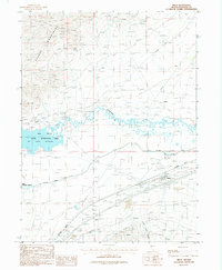
1987 Map of Imlay
USGS Topo · Published 1987About this map
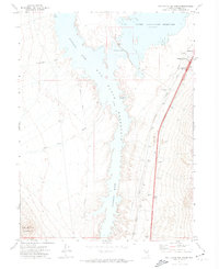
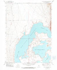
The Southern Pacific railroad corridor and the winding Humboldt River define the layout of this Great Basin landscape during the late 20th century. The settlement of Imlay serves as a focal point in the valley, situated near the Pitt-Taylor Canal and the broad Tar Flats. Water management is central to the area's geography, with the Rye Patch State Recreation Area Reservoir and the Upper Pitt-Taylor Reservoir dominating the lowlands.
Find a feature on this map
27 named features on this map. Tap any name to fly to it.
Don’t see what you’re looking for? This feature index may not catch every label — zoom into the map to look around manually.
Map Details
Editions of this 1987 Imlay Map
This is the sole edition of this map. No revisions or reprints were ever made.
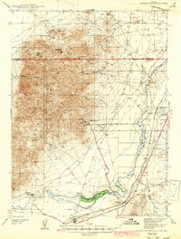
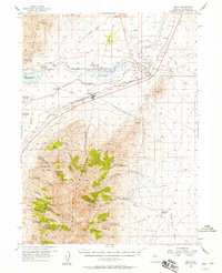
Other maps of this area

1931 · Lovelock
USGS Topo · 1:250,000

1935 · Lovelock
USGS Topo · 1:250,000
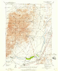
1939 · Eugene Mountains Area
USGS Topo · 1:62,500
1942 · Eugene Mountains Area
USGS Topo · 1:62,500

1955 · Lovelock
USGS Topo · 1:250,000
1956 · Imlay
USGS Topo · 1:62,500

1959 · Lovelock
USGS Topo · 1:250,000
1971 · Rye Patch Reservoir South
USGS Topo · 1:24,000
1971 · Rye Patch Reservoir North
USGS Topo · 1:24,000
1971 · Alpha Mountain
USGS Topo · 1:24,000