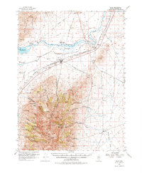
1956 Map of Imlay
USGS Topo · Published 1976About this map
Imlay serves as the central hub of this mid-century Nevada landscape, situated along the Southern Pacific railroad line where the desert floor meets the rising peaks of the Humboldt Range. The map reveals a complex history of movement and resource extraction, from the path of the Old Emigrant Trail and the Old Idaho Stage Road to the numerous mining operations dotting the mountainsides. Hard-rock mining is represented by sites like the Starlight Mine, Imlay Mine, and the Queen of Sheba Mine tucked into canyons like Prince Royal Canyon. Water management for this arid region is clearly visible through the Pitt-Taylor Diversion Canal and the upper reaches of Rye Patch Res. The presence of Humboldt City (Site) and Thackers Ranch (Old Stage Sta) provides a window into the earlier settlement patterns and waystations that once supported travelers and prospectors in Pershing County.
Find a feature on this map
67 named features on this map. Tap any name to fly to it.
Don’t see what you’re looking for? This feature index may not catch every label — zoom into the map to look around manually.
Map Details
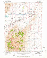
Editions of this 1956 Imlay Map
3 editions found

Other maps of this area

1931 · Lovelock
USGS Topo · 1:250,000

1932 · Sonoma Range
USGS Topo · 1:250,000

1935 · Lovelock
USGS Topo · 1:250,000

1939 · Sonoma Range
USGS Topo · 1:250,000

1939 · Eugene Mountains Area
USGS Topo · 1:62,500

1942 · Eugene Mountains Area
USGS Topo · 1:62,500

1954 · Unionville
USGS Topo · 1:62,500

1955 · Lovelock
USGS Topo · 1:250,000

1955 · Winnemucca
USGS Topo · 1:250,000

1956 · Oreana
USGS Topo · 1:62,500