
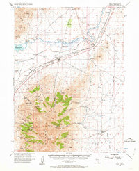
1956 Map of Imlay
USGS Topo · Published 1958About this map
The Southern Pacific railroad corridor serves as the industrial spine for this high-desert landscape, connecting the town of Imlay to the operations at Mill City. The mapping reveals a complex layering of transportation history, where the modern rail and pipeline infrastructure parallels the historic Old Emigrant Trail and the Old Idaho Road. Near the northern reaches of the Humboldt Range, the survey identifies the Humboldt City (Site), marking the location of a former mining boomtown.
Find a feature on this map
57 named features on this map. Tap any name to fly to it.
Don’t see what you’re looking for? This feature index may not catch every label — zoom into the map to look around manually.
Map Details
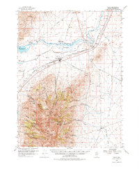
Editions of this 1956 Imlay Map
3 editions found
Other maps of this area

1931 · Lovelock
USGS Topo · 1:250,000

1932 · Sonoma Range
USGS Topo · 1:250,000

1935 · Lovelock
USGS Topo · 1:250,000

1939 · Sonoma Range
USGS Topo · 1:250,000

1939 · Eugene Mountains Area
USGS Topo · 1:62,500

1942 · Eugene Mountains Area
USGS Topo · 1:62,500

1954 · Unionville
USGS Topo · 1:62,500

1955 · Lovelock
USGS Topo · 1:250,000

1955 · Winnemucca
USGS Topo · 1:250,000

1956 · Oreana
USGS Topo · 1:62,500