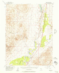
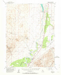
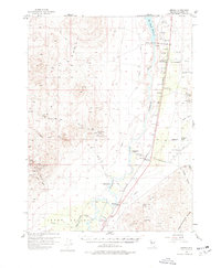
1956 Map of Oreana
USGS Topo · Published 1957About this map
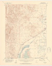
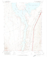
The Humboldt River corridor defines this mid-century landscape in Pershing County, where the infrastructure of the Southern Pacific railroad parallels the waterway. A complex network of irrigation and industry is evident, from the Rye Patch Reservoir and Rye Patch Dam at the northern edge to the Crystal Lakes Trout Farm and several family-named homesteads such as Salinas Ranch and Cole Ranch. The map captures a moment when traditional ranching and large-scale water management intersected with the region's deep-rooted mining economy.
Find a feature on this map
46 named features on this map. Tap any name to fly to it.
Don’t see what you’re looking for? This feature index may not catch every label — zoom into the map to look around manually.
Map Details
Editions of this 1956 Oreana Map
3 editions found
Other maps of this area

1931 · Lovelock
USGS Topo · 1:250,000

1935 · Lovelock
USGS Topo · 1:250,000
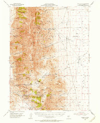
1954 · Unionville
USGS Topo · 1:62,500
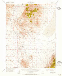
1954 · Buffalo Mtn
USGS Topo · 1:62,500

1955 · Lovelock
USGS Topo · 1:250,000
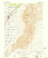
1956 · Toulon
USGS Topo · 1:62,500
1956 · Imlay
USGS Topo · 1:62,500
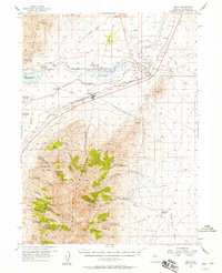
1956 · Lovelock
USGS Topo · 1:62,500

1959 · Lovelock
USGS Topo · 1:250,000
1971 · Rye Patch Reservoir South
USGS Topo · 1:24,000