Loading...
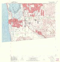
Loading map...1967 Map of Imperial Beach
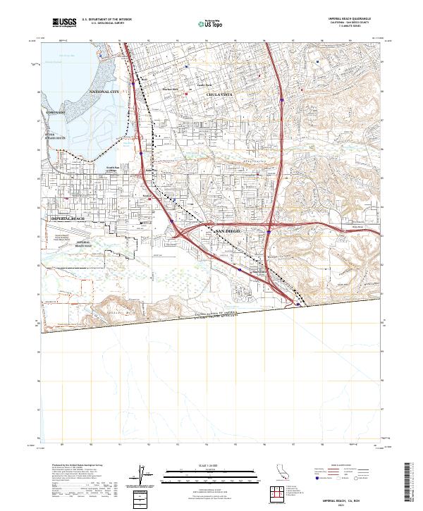
USGS Topo · Published 1970About this map
Chula Vista and Imperial Beach dominate the coastal landscape of San Diego County in this late 1960s survey. The map details the intricate shoreline where San Diego Bay meets the extensive Salt Evaporators and the northern tip of the Tijuana River valley. A dense network of schools, such as Montgomery High Sch and Marian High Sch, indicates the rapid suburban expansion occurring between the historic city centers and the United States Mexico border.
Find a feature on this map
85 named features on this map. Tap any name to fly to it.
Don’t see what you’re looking for? This feature index may not catch every label — zoom into the map to look around manually.
Map Details
Date Portrayed1967
Date Published1970
PublisherU.S. Geological Survey
Map TypeTopographic
Scale1:24000
Physical Dimensions26.02 x 26.97 inches
Editions of this 1967 Imperial Beach Map
This is the sole edition of this map. No revisions or reprints were ever made.
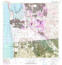
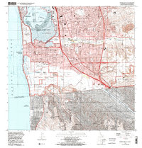
Historical Maps of San Diego Through Time
4 maps found
Featured Locations
Source Details
SourceU.S. Geological Survey
CopyrightPublic Domain