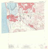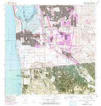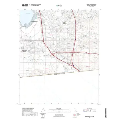
1996 Map of Imperial Beach
USGS Topo · Published 2002About this map
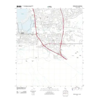
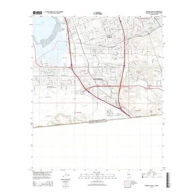
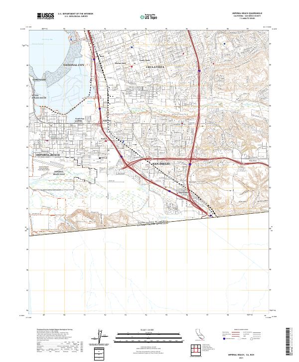
The Tijuana River National Estuarine Research Reserve and the Tijuana Slough National Wildlife Refuge anchor the southwestern corner of this coastal landscape, where the Tijuana River meets the Pacific Ocean. This survey reveals the complex borderland geography between the United States and Mexico, documenting the dense suburban development of Imperial Beach, San Ysidro, and Chula Vista alongside heavy industrial and military installations. Significant land use is evident in the Salt Evaporators at the southern end of San Diego Bay and the extensive Naval Outlying Field Imperial Beach. The map also captures the varied topography of Otay Mesa and Spooners Mesa, bisected by deep canyons like Goat Canyon and Smugglers Gulch. Critical infrastructure, including Interstate 5, the San Diego and Arizona Eastern RR, and the Border Patrol Headquarters, underscores the area's role as a major international transit and security corridor.
Find a feature on this map
85 named features on this map. Tap any name to fly to it.
Don’t see what you’re looking for? This feature index may not catch every label — zoom into the map to look around manually.
Map Details
Editions of this 1996 Imperial Beach Map
This is the sole edition of this map. No revisions or reprints were ever made.
Historical Maps of Chula Vista Through Time
7 maps found