Loading...
Loading map...2022 Map of Independence
USGS Topo · Published 2022About this map
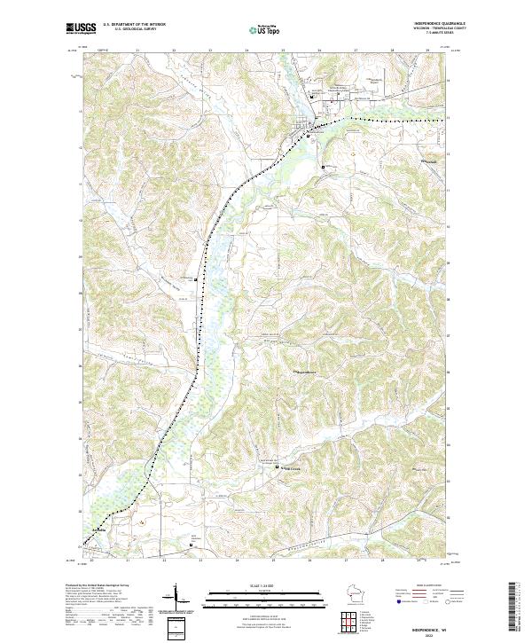
Independence sits at the confluence of the Trempealeau River and Plum Cr in this contemporary record of Trempealeau County. The settlement pattern is defined by the tight coulees and broad valleys characteristic of the region, with Traverse Valley and Wickham Valley carving through the landscape. The river is widened by Bugle Lake just north of the city center, where Western Technical College-Independence Campus and the Independence Airport serve as modern community anchors.
Find a feature on this map
97 named features on this map. Tap any name to fly to it.
Don’t see what you’re looking for? This feature index may not catch every label — zoom into the map to look around manually.
Map Details
Date Portrayed2022
Date Published2022
PublisherU.S. Geological Survey
Map TypeTopographic
Scale1:24000
Physical Dimensions24 x 29 inches
Editions of this 2022 Independence Map
This is the sole edition of this map. No revisions or reprints were ever made.
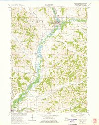
Historical Maps of Dewey Corners Through Time
Featured Locations
Source Details
SourceU.S. Geological Survey
CopyrightPublic Domain