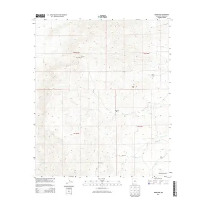
2013 Map of Indian Peak
USGS Topo · Published 2013About this map
Mouser Place serves as a lone human waypoint in this high-desert landscape of Hidalgo County. Located within the northern reaches of the Peloncillo Mountains, the area is defined by a series of dramatic geographic features, including the prominent summit of Indian Peak and the strategic gap at Antelope Pass. The map reveals a network of canyons such as Dupree Canyon, XT Canyon, and Cabin Canyon, which facilitate the drainage of seasonal waterways like Big Creek and its tributary South Fork Big Creek. This 2013 topographic survey captures the persistence of vital water sources in an arid environment, noting Cottonwood Spring and Mud Springs. A sparse network of county roads, including County Road 50, provides the only modern access through these remote basins and passes, reflecting the rugged isolation of the New Mexico borderlands.
Find a feature on this map
22 named features on this map. Tap any name to fly to it.
Don’t see what you’re looking for? This feature index may not catch every label — zoom into the map to look around manually.
Map Details
Editions of this 2013 Indian Peak Map
This is the sole edition of this map. No revisions or reprints were ever made.
Other maps of this area

1917 · Chiricahua
USGS Topo · 1:125,000

1918 · Animas Peak
USGS Topo · 1:62,500

1918 · Pratt
USGS Topo · 1:62,500

1919 · Pratt
USGS Topo · 1:62,500

1919 · Chiricahua
USGS Topo · 1:125,000

1920 · Animas Peak
USGS Topo · 1:62,500

1926 · Rodeo
USGS Topo · 1:62,500

1940 · Apache
USGS Topo · 1:62,500

1955 · Douglas
USGS Topo · 1:250,000

1958 · Apache
USGS Topo · 1:62,500