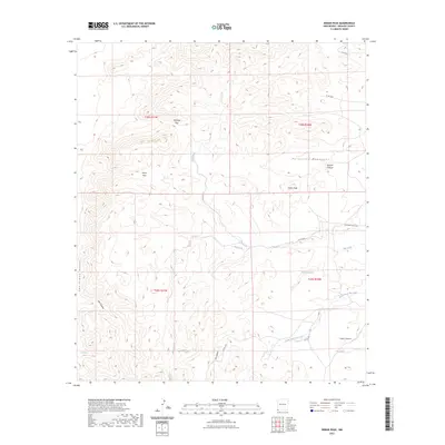
2023 Map of Indian Peak
USGS Topo · Published 2023About this map
Peloncillo Mountains dominate this high-desert landscape in the southwestern corner of New Mexico, where deep drainages like Dupree Canyon and Cabin Canyon carve into the uplands. Water remains a critical defining feature of this arid terrain, marked by isolated sources such as Cottonwood Spring, Mud Springs, and the Birtrong Tank. These names reflect the historical reliance on reliable watering holes for ranching and transit through the high passes.
Find a feature on this map
24 named features on this map. Tap any name to fly to it.
Don’t see what you’re looking for? This feature index may not catch every label — zoom into the map to look around manually.
Map Details
Editions of this 2023 Indian Peak Map
This is the sole edition of this map. No revisions or reprints were ever made.
Other maps of this area

1917 · Chiricahua
USGS Topo · 1:125,000

1918 · Animas Peak
USGS Topo · 1:62,500

1918 · Pratt
USGS Topo · 1:62,500

1919 · Pratt
USGS Topo · 1:62,500

1919 · Chiricahua
USGS Topo · 1:125,000

1920 · Animas Peak
USGS Topo · 1:62,500

1926 · Rodeo
USGS Topo · 1:62,500

1940 · Apache
USGS Topo · 1:62,500

1955 · Douglas
USGS Topo · 1:250,000

1958 · Apache
USGS Topo · 1:62,500