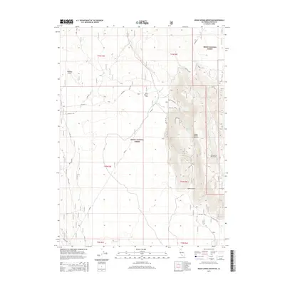
2015 Map of Indian Spring Mountain
USGS Topo · Published 2015About this map
Indian Spring Mountain and the surrounding volcanic terrain of the High Cascades dominate this Siskiyou County landscape, where the Shasta National Forest meets the Modoc National Forest. The map documents a high-altitude wilderness defined by land management and utility infrastructure, featuring extensive forest service roads such as Mayfield and For Route 3. A network of utility corridors is visible via Powerline 4 and various towers crossing the flats.
Find a feature on this map
31 named features on this map. Tap any name to fly to it.
Don’t see what you’re looking for? This feature index may not catch every label — zoom into the map to look around manually.
Map Details
Editions of this 2015 Indian Spring Mountain Map
This is the sole edition of this map. No revisions or reprints were ever made.
Other maps of this area
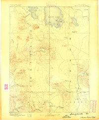
1886 · Modoc Lava Bed
USGS Topo · 1:250,000
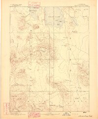
1892 · Modoc Lava-Bed
USGS Topo · 1:250,000
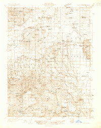
1932 · Bartle
USGS Topo · 1:96,000
1939 · Bartle
USGS Topo · 1:125,000
1954 · Alturas
USGS Topo · 1:250,000
1958 · Alturas
USGS Topo · 1:250,000
1961 · Hambone
USGS Topo · 1:62,500
1961 · Pondosa
USGS Topo · 1:62,500
1961 · Fall River Mills
USGS Topo · 1:62,500
1962 · Alturas
USGS Topo · 1:250,000