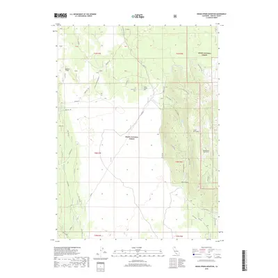
2018 Map of Indian Spring Mountain
USGS Topo · Published 2018About this map
Indian Spring Mtn and the surrounding volcanic terrain of Siskiyou County define this portion of the Shasta National Forest and Modoc National Forest. The landscape is a complex series of lava flows and ridges, including Whitlow Ridge, Ramey Rim, and the prominent Lava Spur AKA Porcupine Butte. While the terrain is dominated by geological features like Shake Canyon and the open Julia Glover Flat, evidence of land use and utility infrastructure appears in the form of the Pit Gas Pipe corridor and several utility towers. For those researching local ranching history or Forest Service administration, the map identifies the Pit Wiley Ranch and the former location of the Pit Wiley GS (Site) near the eastern boundary, alongside water sources such as Indian Spring and Mayfield Spring.
Find a feature on this map
41 named features on this map. Tap any name to fly to it.
Don’t see what you’re looking for? This feature index may not catch every label — zoom into the map to look around manually.
Map Details
Editions of this 2018 Indian Spring Mountain Map
This is the sole edition of this map. No revisions or reprints were ever made.
Other maps of this area
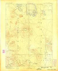
1886 · Modoc Lava Bed
USGS Topo · 1:250,000
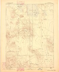
1892 · Modoc Lava-Bed
USGS Topo · 1:250,000
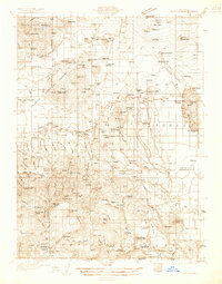
1932 · Bartle
USGS Topo · 1:96,000
1939 · Bartle
USGS Topo · 1:125,000
1954 · Alturas
USGS Topo · 1:250,000
1958 · Alturas
USGS Topo · 1:250,000
1961 · Hambone
USGS Topo · 1:62,500
1961 · Pondosa
USGS Topo · 1:62,500
1961 · Fall River Mills
USGS Topo · 1:62,500
1962 · Alturas
USGS Topo · 1:250,000