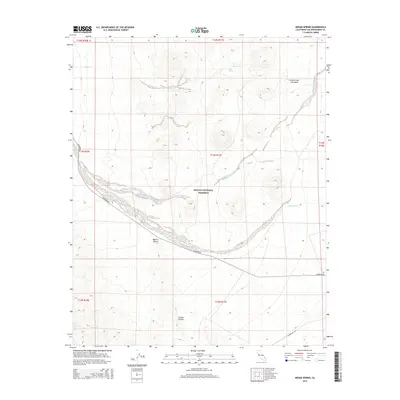
2015 Map of Indian Spring
USGS Topo · Published 2015About this map
The Mojave National Preserve encompasses most of this 2015 desert landscape, showcasing the complex arid topography of eastern San Bernardino County. Volcanic history is evident at the Cinder Cone Lava Beds in the northeastern corner, a striking geological feature that contrasts with the broad alluvial drainage of Black Tank Wash and Willow Wash to the south. Human passage through this high desert environment is marked by Kelbaker Rd, which winds through the central valley of the Mojave Desert towards the Jackass Canyon area.
Find a feature on this map
18 named features on this map. Tap any name to fly to it.
Don’t see what you’re looking for? This feature index may not catch every label — zoom into the map to look around manually.
Map Details
Editions of this 2015 Indian Spring Map
This is the sole edition of this map. No revisions or reprints were ever made.
Other maps of this area

1910 · Ivanpah
USGS Topo · 1:250,000

1912 · Ivanpah
USGS Topo · 1:250,000

1942 · Ivanpah
USGS Topo · 1:250,000

1947 · Kingman
USGS Topo · 1:250,000

1948 · Kingman
USGS Topo · 1:250,000

1954 · Kingman
USGS Topo · 1:250,000

1955 · Kingman
USGS Topo · 1:250,000
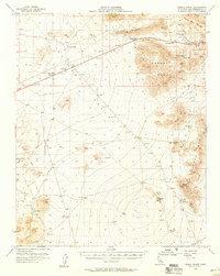
1955 · Mescal Range
USGS Topo · 1:62,500
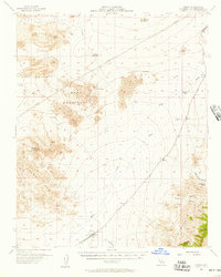
1955 · Kelso
USGS Topo · 1:62,500
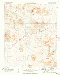
1956 · Halloran Spring
USGS Topo · 1:62,500