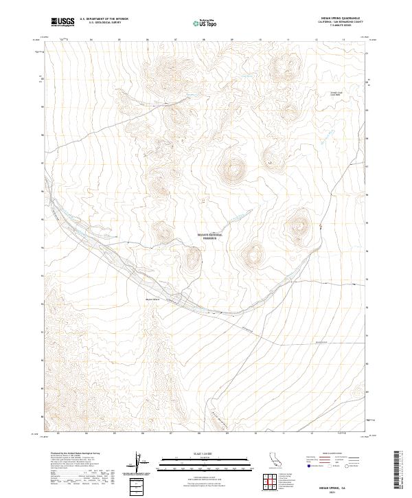
2021 Map of Indian Spring
USGS Topo · Published 2021About this map
The Mojave National Preserve encompasses most of this 2021 landscape, dominated by the shifting sands of the Mojave Desert and the volcanic formations of the Cinder Cone Lava Beds. This arid environment is defined by its drainage patterns, notably the winding Black Tank Wash and Willow Wash, which cut through the basin floor. Important water sources such as Cane Spring and Indian Spring serve as critical ecological anchors in a region otherwise marked by seasonal runoff channels. In the southern portion of the sheet, the Kelso Mountains rise above the desert floor, their lower slopes skirted by Kelbaker Road, which remains the primary corridor for traversal through this protected wilderness. The map provides a detailed view of the complex topography within the preserve before its southeastern transition toward the Kelso region.
Find a feature on this map
18 named features on this map. Tap any name to fly to it.
Don’t see what you’re looking for? This feature index may not catch every label — zoom into the map to look around manually.
Map Details
Editions of this 2021 Indian Spring Map
This is the sole edition of this map. No revisions or reprints were ever made.
Other maps of this area

1910 · Ivanpah
USGS Topo · 1:250,000

1912 · Ivanpah
USGS Topo · 1:250,000

1942 · Ivanpah
USGS Topo · 1:250,000

1947 · Kingman
USGS Topo · 1:250,000

1948 · Kingman
USGS Topo · 1:250,000

1954 · Kingman
USGS Topo · 1:250,000

1955 · Kingman
USGS Topo · 1:250,000

1955 · Mescal Range
USGS Topo · 1:62,500

1955 · Kelso
USGS Topo · 1:62,500

1956 · Halloran Spring
USGS Topo · 1:62,500