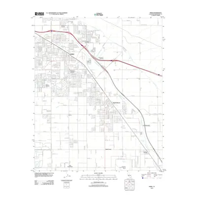
2012 Map of Indio
USGS Topo · Published 2012About this map
Indio and the surrounding Coachella Valley are defined here by a sophisticated network of desert water management and agricultural infrastructure. The Coachella Canal and Coachella Valley Stormwater Channel are central to the landscape, supporting the development of communities like Thermal and Vista Santa Rosa. This 2012 survey illustrates the density of recreational facilities, particularly the cluster of RV parks such as the Happy Wanderer Recreational Vehicle Park and Desert Air Recreational Vehicle Park.
Find a feature on this map
33 named features on this map. Tap any name to fly to it.
Don’t see what you’re looking for? This feature index may not catch every label — zoom into the map to look around manually.
Map Details
Editions of this 2012 Indio Map
This is the sole edition of this map. No revisions or reprints were ever made.
Other maps of this area

1904 · Indio
USGS Topo · 1:125,000

1941 · Toro Peak
USGS Topo · 1:62,500

1941 · Coachella
USGS Topo · 1:62,500

1941 · Edom
USGS Topo · 1:62,500

1943 · Coachella
USGS Topo · 1:62,500

1944 · Toro peak
USGS Topo · 1:62,500

1944 · Edom
USGS Topo · 1:62,500

1944 · Pinyon Well
USGS Topo · 1:62,500

1947 · Santa Ana
USGS Topo · 1:250,000

1949 · Santa Ana
USGS Topo · 1:250,000