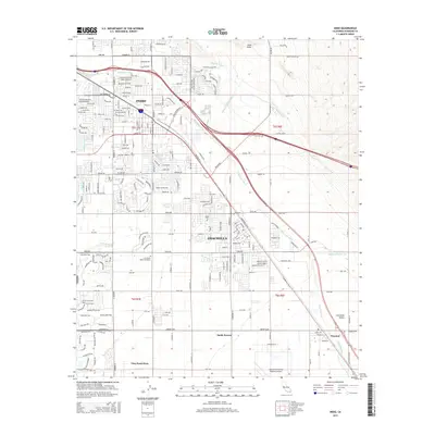
2015 Map of Indio
USGS Topo · Published 2015About this map
Agricultural expansion and suburban development define the Coachella and Indio landscape during this era, where the desert environment is heavily modified by a complex irrigation network. The Coachella Canal and vital channels like Wasteway Number Three support the productive Coachella Valley as it stretches south toward the community of Thermal. This map shows the transition from the densely gridded residential blocks of the northern cities to the larger-scale rural parcels of Vista Santa Rosa and Sandy Korner.
Find a feature on this map
202 named features on this map. Tap any name to fly to it.
Don’t see what you’re looking for? This feature index may not catch every label — zoom into the map to look around manually.
Map Details
Editions of this 2015 Indio Map
This is the sole edition of this map. No revisions or reprints were ever made.
Other maps of this area
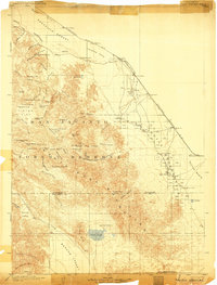
1904 · Indio
USGS Topo · 1:125,000
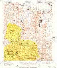
1941 · Toro Peak
USGS Topo · 1:62,500
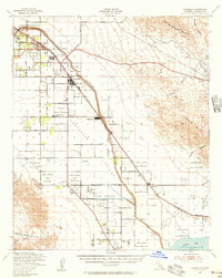
1941 · Coachella
USGS Topo · 1:62,500
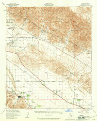
1941 · Edom
USGS Topo · 1:62,500
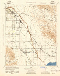
1943 · Coachella
USGS Topo · 1:62,500
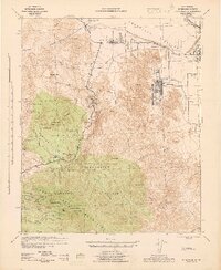
1944 · Toro peak
USGS Topo · 1:62,500
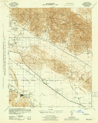
1944 · Edom
USGS Topo · 1:62,500
1944 · Pinyon Well
USGS Topo · 1:62,500
1947 · Santa Ana
USGS Topo · 1:250,000
1949 · Santa Ana
USGS Topo · 1:250,000