Loading...
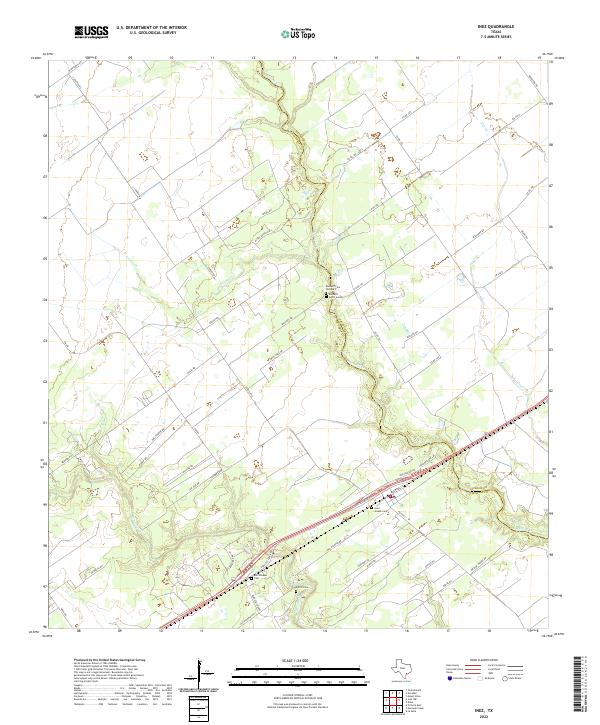
Loading map...2022 Map of Inez
USGS Topo · Published 2022About this map
The county line between Jackson and Victoria counties defines the eastern landscape of this 2022 survey, following the winding course of Arenosa Creek. This region of the Texas Coastal Plain is characterized by a sprawling network of ranch roads and rural lanes that connect isolated family cemeteries and homesteads. The hydrology of the area is marked by several significant waterways, including Garcitas Creek and Leona Creek, which feed into the wider basin near Garcitas Grove.
Find a feature on this map
55 named features on this map. Tap any name to fly to it.
Don’t see what you’re looking for? This feature index may not catch every label — zoom into the map to look around manually.
Map Details
Date Portrayed2022
Date Published2022
PublisherU.S. Geological Survey
Map TypeTopographic
Scale1:24000
Physical Dimensions24 x 29 inches
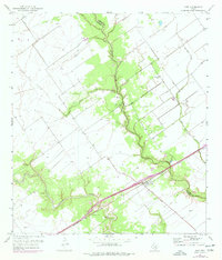
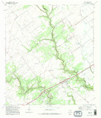
Editions of this 2022 Inez Map
This is the sole edition of this map. No revisions or reprints were ever made.
Historical Maps of Inez Through Time
Featured Locations
Source Details
SourceU.S. Geological Survey
CopyrightPublic Domain