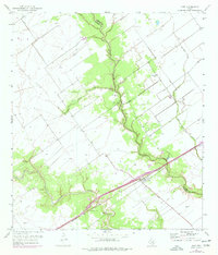
1951 Map of Inez
USGS Topo · Published 1977About this map
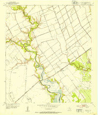
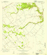
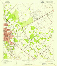
Inez serves as the primary hub of this coastal prairie landscape, situated where the Southern Pacific railroad cuts through the southern portion of the territory. The geography is defined by the winding paths of Arenosa Creek, Leona Creek, and Garcitas Creek, which create natural drainage patterns across the Victoria and Jackson County line. These waterways are accompanied by various man-made alterations to the landscape, including an extensive network of levees and spoil banks.
Find a feature on this map
12 named features on this map. Tap any name to fly to it.
Don’t see what you’re looking for? This feature index may not catch every label — zoom into the map to look around manually.
Map Details
Editions of this 1951 Inez Map
2 editions found
Other maps of this area
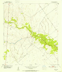
1951 · Inez NW
USGS Topo · 1:24,000
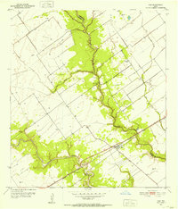
1951 · Inez
USGS Topo · 1:24,000
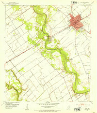
1952 · Edna
USGS Topo · 1:24,000
1952 · La Salle
USGS Topo · 1:24,000
1952 · Marcado Creek
USGS Topo · 1:24,000
1952 · Victoria East
USGS Topo · 1:24,000

1953 · Beeville
USGS Topo · 1:250,000

1953 · Seguin
USGS Topo · 1:250,000

1956 · Beeville
USGS Topo · 1:250,000

1958 · Seguin
USGS Topo · 1:250,000