Loading...
Loading map...2022 Map of Inola
USGS Topo · Published 2022About this map
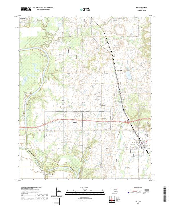
The Verdigris River snakes along the western edge of this landscape, its path defined by numerous oxbows and riverbank features like Horseshoe Lake, Little Flag Lake, and Big Flag Lake. To the south, the terrain descends into the lowlands of Big Bottom near the Rogers Co Wagoner Co line. This region serves as a notable intersection of aviation and industry, housing both Gilstrap Field and Dobie's Airport north of the community of Gregory.
Find a feature on this map
72 named features on this map. Tap any name to fly to it.
Don’t see what you’re looking for? This feature index may not catch every label — zoom into the map to look around manually.
Map Details
Date Portrayed2022
Date Published2022
PublisherU.S. Geological Survey
Map TypeTopographic
Scale1:24000
Physical Dimensions24 x 29 inches
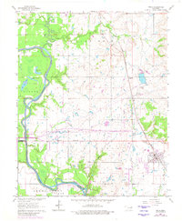
Editions of this 2022 Inola Map
This is the sole edition of this map. No revisions or reprints were ever made.
Historical Maps of Gregory Through Time
Featured Locations
Source Details
SourceU.S. Geological Survey
CopyrightPublic Domain