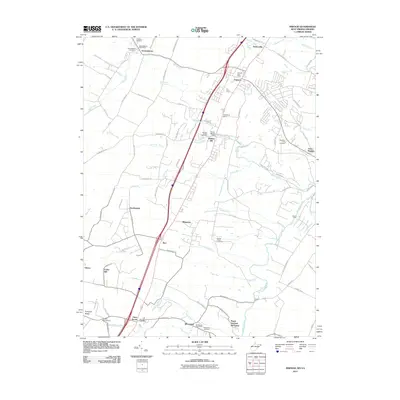
2011 Map of Inwood
USGS Topo · Published 2011About this map
Gerrardstown and Inwood serve as focal points for this portion of the Shenandoah Valley, where the transition from West Virginia into Virginia is marked by a network of historic post offices and cemeteries. The landscape is defined by the winding course of Opequon Creek and its many tributaries, including Specks Run, Torytown Run, and Mill Creek. A clear pattern of rural development is visible, with family-named locations such as Peach Orchard Inn Farms and small settlements like Darkesville and Bunker Hill clustered along the primary transit corridors.
Find a feature on this map
99 named features on this map. Tap any name to fly to it.
Don’t see what you’re looking for? This feature index may not catch every label — zoom into the map to look around manually.
Map Details
Editions of this 2011 Inwood Map
This is the sole edition of this map. No revisions or reprints were ever made.
Other maps of this area

1884 · Harpers Ferry
USGS Topo · 1:125,000

1891 · Harpers Ferry
USGS Topo · 1:125,000

1893 · Harpers Ferry
USGS Topo · 1:125,000

1894 · Winchester
USGS Topo · 1:125,000

1914 · Martinsburg
USGS Topo · 1:48,000

1914 · Gerrardstown
USGS Topo · 1:48,000

1916 · Gerrardstown
USGS Topo · 1:62,500

1916 · Martinsburg
USGS Topo · 1:62,500

1916 · Berryville
USGS Topo · 1:62,500

1937 · Gerrardstown
USGS Topo · 1:48,000