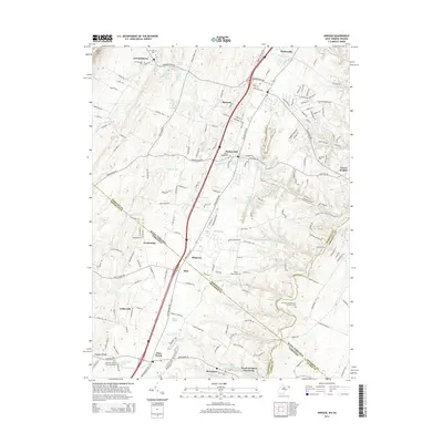
2014 Map of Inwood
USGS Topo · Published 2014About this map
Gerrardstown and Inwood serve as central hubs in this region where the Eastern Panhandle of West Virginia meets the northern tip of Virginia. The landscape is defined by a dense network of springs and runs, including the notable Springvale Farm Spring, Whitacre Farm Spring, and the waters of Opequon Creek. This geography supported a robust agricultural economy, evidenced by the numerous named farm springs and orchards like Peach Orchard Inn Farms. The map traces the historical path of the Winchester Pike, which connects settlements like Bunker Hill and Ridgeway across the state line. Genealogists will find significant value in the detailed plotting of family-associated cemeteries and meeting houses, such as Morgan Chapel Cem and the Hopewell Meeting House Graveyard, which anchor the long-standing communities of Berkeley County and Frederick County.
Find a feature on this map
94 named features on this map. Tap any name to fly to it.
Don’t see what you’re looking for? This feature index may not catch every label — zoom into the map to look around manually.
Map Details
Editions of this 2014 Inwood Map
This is the sole edition of this map. No revisions or reprints were ever made.
Other maps of this area

1884 · Harpers Ferry
USGS Topo · 1:125,000

1891 · Harpers Ferry
USGS Topo · 1:125,000

1893 · Harpers Ferry
USGS Topo · 1:125,000

1894 · Winchester
USGS Topo · 1:125,000

1914 · Martinsburg
USGS Topo · 1:48,000

1914 · Gerrardstown
USGS Topo · 1:48,000

1916 · Gerrardstown
USGS Topo · 1:62,500

1916 · Martinsburg
USGS Topo · 1:62,500

1916 · Berryville
USGS Topo · 1:62,500

1937 · Gerrardstown
USGS Topo · 1:48,000