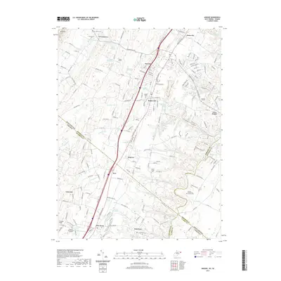
2019 Map of Inwood
USGS Topo · Published 2019About this map
Opequon Creek winds through the eastern portion of this landscape, marking the historic boundary between West Virginia and Virginia. The 2019 survey documents a region defined by its diverse water sources, from the Boiling Springs and Silver Spring to the numerous farm springs like Lee Whitacore Farm Spring. Local history is deeply embedded in the many burial grounds recorded here, including the Hopewell Meeting House Graveyard and the multi-family Prospect Hall-Edwards-Hunsicker Cem.
Find a feature on this map
212 named features on this map. Tap any name to fly to it.
Don’t see what you’re looking for? This feature index may not catch every label — zoom into the map to look around manually.
Map Details
Editions of this 2019 Inwood Map
This is the sole edition of this map. No revisions or reprints were ever made.
Other maps of this area

1884 · Harpers Ferry
USGS Topo · 1:125,000

1891 · Harpers Ferry
USGS Topo · 1:125,000

1893 · Harpers Ferry
USGS Topo · 1:125,000

1894 · Winchester
USGS Topo · 1:125,000

1914 · Martinsburg
USGS Topo · 1:48,000
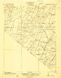
1914 · Gerrardstown
USGS Topo · 1:48,000
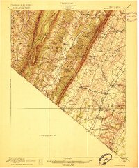
1916 · Gerrardstown
USGS Topo · 1:62,500
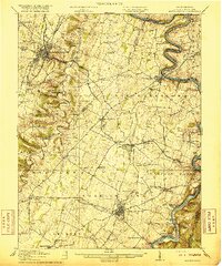
1916 · Martinsburg
USGS Topo · 1:62,500
1916 · Berryville
USGS Topo · 1:62,500
1937 · Gerrardstown
USGS Topo · 1:48,000