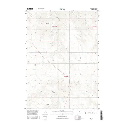
2015 Map of Iona
USGS Topo · Published 2015About this map
Iona anchors this section of Lyman County, situated along a section of the road network where 266th St and 338th Ave meet. The landscape is defined by the high ground of the Iona Hills and the prominent Twilight Butte to the southwest, contrasted by the broad drainage patterns of Waterhole Cr and Nicholas Cr. This mid-2010s survey illustrates a rural South Dakota prairie environment where agriculture and topography dictate the placement of local infrastructure, such as Lake Agnes and the Iona Cem.
Find a feature on this map
25 named features on this map. Tap any name to fly to it.
Don’t see what you’re looking for? This feature index may not catch every label — zoom into the map to look around manually.
Map Details
Editions of this 2015 Iona Map
This is the sole edition of this map. No revisions or reprints were ever made.
Other maps of this area
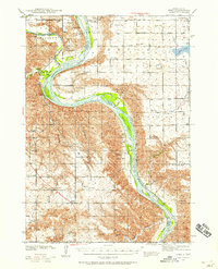
1940 · Iona
USGS Topo · 1:62,500
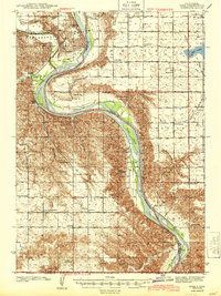
1944 · Iona
USGS Topo · 1:62,500
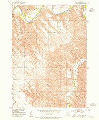
1952 · Hamill NE
USGS Topo · 1:24,000
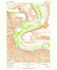
1952 · Iona NW
USGS Topo · 1:24,000
1955 · Mitchell
USGS Topo · 1:250,000
1959 · Mitchell
USGS Topo · 1:250,000
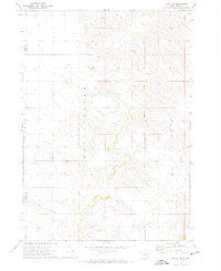
1971 · Hamill SE
USGS Topo · 1:24,000
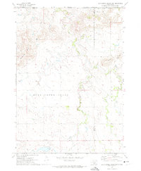
1971 · Rattlesnake Butte East
USGS Topo · 1:24,000
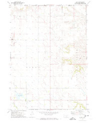
1971 · Dixon
USGS Topo · 1:24,000
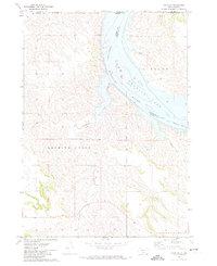
1971 · Dixon NE
USGS Topo · 1:24,000