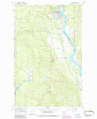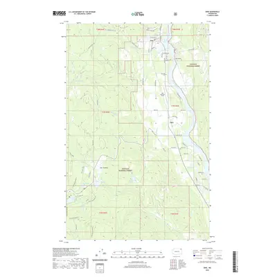
1992 Map of Ione
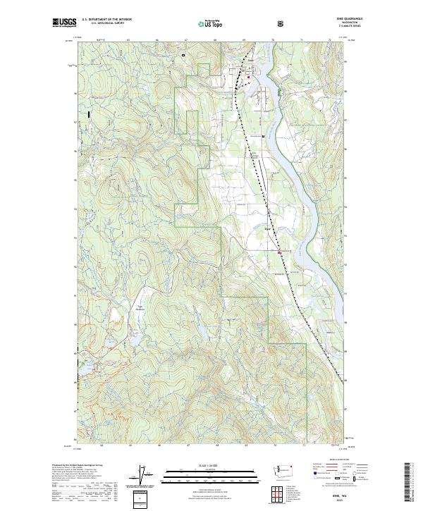
USGS Topo · Published 1996About this map
The Pend Oreille River flows northward through this northeastern Washington landscape, anchoring the town of Ione and the smaller settlement of Tiger to its west bank. The Pend Oreille Valley Railroad parallels the river, providing a corridor for industry and transport that connects these riverside communities. Most of the terrain is dominated by the Colville National Forest, where a high concentration of mountain lakes like Lake Leo, Frater Lake, and Nile Lake dot the southwestern corner near the Stevens Co Pend Oreille Co line.
Find a feature on this map
34 named features on this map. Tap any name to fly to it.
Don’t see what you’re looking for? This feature index may not catch every label — zoom into the map to look around manually.
Map Details
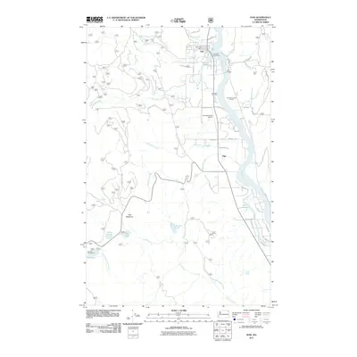
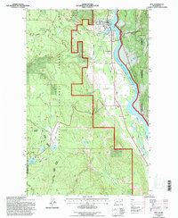
Editions of this 1992 Ione Map
This is the sole edition of this map. No revisions or reprints were ever made.
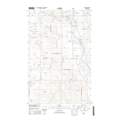
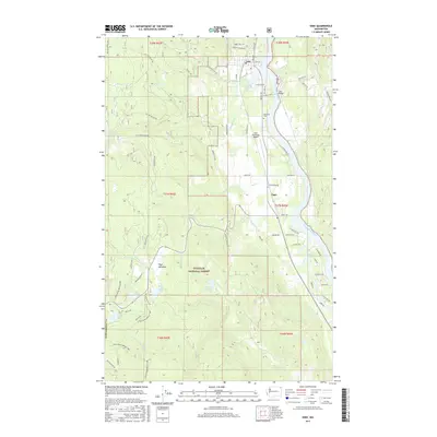
Historical Maps of Ione Through Time
7 maps found