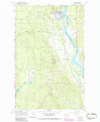
1967 Map of Ione
USGS Topo · Published 1986About this map
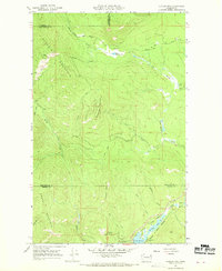
The Pend Oreille River flows northward through this mid-1960s survey, serving as the central artery for the timber and transport economy of northeastern Washington. At the heart of the map, the town of Ione is depicted with its complex of industrial features, including the Ione Millpond, a critical Ione Bridge crossing, and a nearby Landing Strip. Further south, the settlement of Tiger sits near the junction of the Pend Oreille Valley rail line and the marshy expanses of Tiger Slough.
Find a feature on this map
37 named features on this map. Tap any name to fly to it.
Don’t see what you’re looking for? This feature index may not catch every label — zoom into the map to look around manually.
Map Details
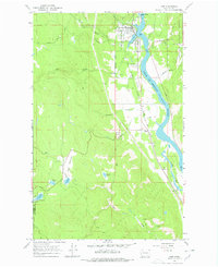
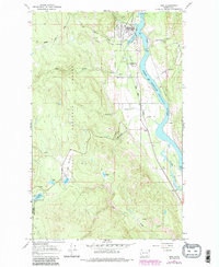
Editions of this 1967 Ione Map
4 editions found

Other maps of this area

1929 · Colville
USGS Topo · 1:125,000

1933 · Colville
USGS Topo · 1:125,000

1934 · Metaline
USGS Topo · 1:125,000

1942 · Metaline
USGS Topo · 1:125,000

1952 · Deep Lake
USGS Topo · 1:24,000

1958 · Sandpoint
USGS Topo · 1:250,000

1963 · Sandpoint
USGS Topo · 1:250,000
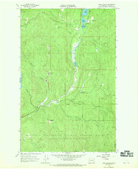
1966 · Lake Gillette
USGS Topo · 1:24,000
1967 · Aladdin Mtn
USGS Topo · 1:24,000

1967 · Timber Mtn.
USGS Topo · 1:24,000