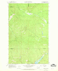
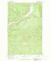
1967 Map of Aladdin Mtn
USGS Topo · Published 1969About this map
Aladdin Mountain dominates this portion of the Selkirk Range during the late 1960s, a landscape defined by its mining history and high-elevation watersheds. Located along the border of Stevens and Pend Oreille counties, the area shows a distinct concentration of mineral exploration with sites like the Aladdin Mine, Lasota Mine, and Rocky Creek Mine situated among the drainage basins of Meadow Creek and Big Muddy Creek.
Find a feature on this map
34 named features on this map. Tap any name to fly to it.
Don’t see what you’re looking for? This feature index may not catch every label — zoom into the map to look around manually.
Map Details
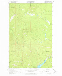
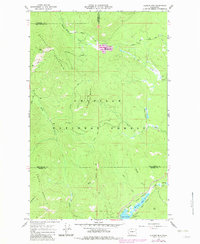
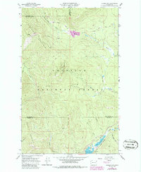
Editions of this 1967 Aladdin Mtn Map
4 editions found
Other maps of this area

1929 · Colville
USGS Topo · 1:125,000

1933 · Colville
USGS Topo · 1:125,000

1934 · Metaline
USGS Topo · 1:125,000

1942 · Metaline
USGS Topo · 1:125,000

1952 · Spirit
USGS Topo · 1:24,000

1952 · Deep Lake
USGS Topo · 1:24,000

1952 · Aladdin
USGS Topo · 1:24,000

1958 · Sandpoint
USGS Topo · 1:250,000

1963 · Sandpoint
USGS Topo · 1:250,000
1966 · Aladdin
USGS Topo · 1:24,000