
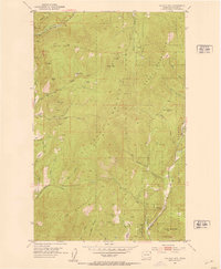
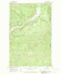
1952 Map of Aladdin
USGS Topo · Published 1954About this map
The Colville National Forest dominates this 1952 topographic study of the northeastern Washington mountains. High elevation landmarks like Irish Mountain and Aladdin Mountain overlook a landscape transitioning from resource extraction to quiet forest land. Evidence of the area's mining history is scattered across the terrain, notably at the Morning Mine, Bonus Mine, and Aladdin Mine, while the former settlement of Aladdin is already marked as abandoned near Deep Creek. The map provides a detailed view of early 20th-century rural life through family-named sites such as the Scott Homestead and the high-altitude Pelley Cabin near Polley Creek. In the south, the Bon Ayre Valley shows a fading community center, centered around the Bon Ayre Sch, while Ensley Ridge and Blacktail Butte define the rugged north-south geography of the Colville Ridge.
Find a feature on this map
33 named features on this map. Tap any name to fly to it.
Don’t see what you’re looking for? This feature index may not catch every label — zoom into the map to look around manually.
Map Details
Editions of this 1952 Aladdin Map
This is the sole edition of this map. No revisions or reprints were ever made.
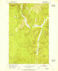
Other maps of this area

1929 · Colville
USGS Topo · 1:125,000

1933 · Colville
USGS Topo · 1:125,000
1952 · Gillette Mtn
USGS Topo · 1:24,000
1952 · Spirit
USGS Topo · 1:24,000
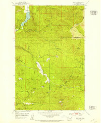
1952 · Deep Lake
USGS Topo · 1:24,000
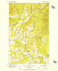
1952 · White Mud Lake
USGS Topo · 1:24,000

1958 · Sandpoint
USGS Topo · 1:250,000

1963 · Sandpoint
USGS Topo · 1:250,000
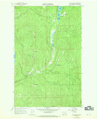
1966 · Aladdin
USGS Topo · 1:24,000
1966 · Lake Gillette
USGS Topo · 1:24,000