
1952 Map of Gillette Mtn
USGS Topo · Published 1953About this map
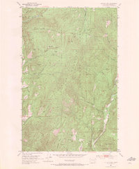
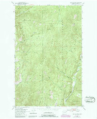
Uncle Sam Mountain and Gillette Mountain dominate this mid-century topographic profile of Stevens County, where the landscape is defined by its early industrial extraction. The map reveals a high concentration of mining activity throughout the Colville National Forest, including the Galena Farm Mine, Lucky Boy Mine, and Big Chief Mine. These operations, along with a Marble Quarry near Reed Ranch, illustrate the region's reliance on mineral wealth during the post-war era.
Find a feature on this map
47 named features on this map. Tap any name to fly to it.
Don’t see what you’re looking for? This feature index may not catch every label — zoom into the map to look around manually.
Map Details
Editions of this 1952 Gillette Mtn Map
3 editions found
Other maps of this area

1929 · Colville
USGS Topo · 1:125,000

1933 · Colville
USGS Topo · 1:125,000

1952 · Spirit
USGS Topo · 1:24,000

1952 · Echo Valley
USGS Topo · 1:24,000

1952 · White Mud Lake
USGS Topo · 1:24,000

1952 · Aladdin
USGS Topo · 1:24,000

1952 · Colville
USGS Topo · 1:24,000

1958 · Sandpoint
USGS Topo · 1:250,000

1963 · Sandpoint
USGS Topo · 1:250,000
1966 · Aladdin
USGS Topo · 1:24,000