
1952 Map of Spirit
USGS Topo · Published 1953About this map
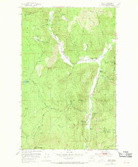
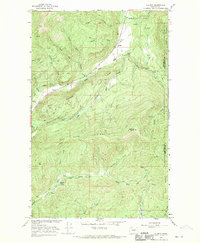
The Colville National Forest dominates the landscape of this 1952 survey, centered on the small settlement of Spirit in Stevens County. The area’s economy is clearly defined by mineral extraction and processing, with an extensive network of mining operations including the Stonewall Mine, Blue Ridge Mine, and Copper King Mine. The presence of the Goldfield Mill and a Marble Quarry further emphasizes the industrial character of the region during the early fifties. Local social and civic life is anchored by the South Fork Grange and the Spirit School, situated near the confluence of the Deep Creek and the South Fork Smackout Creek. Topographically, the map transitions from the high peaks of Stoddard Mountain and Mount Rogers down through the valleys of Harrier Creek and Miller Creek, providing a detailed look at the interface between the wilderness of the national forest and the working landscape of the Pacific Northwest.
Find a feature on this map
38 named features on this map. Tap any name to fly to it.
Don’t see what you’re looking for? This feature index may not catch every label — zoom into the map to look around manually.
Map Details
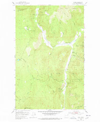
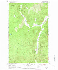
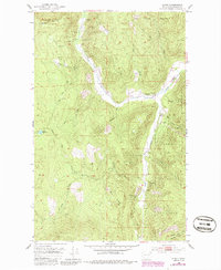
Editions of this 1952 Spirit Map
5 editions found
Other maps of this area

1929 · Colville
USGS Topo · 1:125,000

1933 · Colville
USGS Topo · 1:125,000

1952 · Gillette Mtn
USGS Topo · 1:24,000

1952 · Deep Lake
USGS Topo · 1:24,000

1952 · Leadpoint
USGS Topo · 1:24,000

1952 · Boundary
USGS Topo · 1:24,000

1952 · Aladdin
USGS Topo · 1:24,000

1958 · Sandpoint
USGS Topo · 1:250,000

1963 · Sandpoint
USGS Topo · 1:250,000
1966 · Aladdin
USGS Topo · 1:24,000