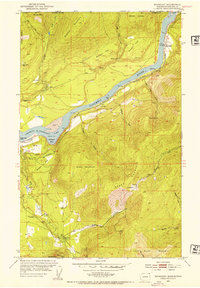
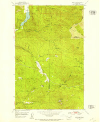
1952 Map of Boundary
USGS Topo · Published 1954About this map
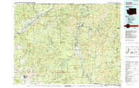
The United States Canada border defines the northern edge of this 1952 survey, where the Columbia River flows south toward the newly formed Franklin D Roosevelt Lake. The landscape is a mix of high mountain peaks like Mitchell Mountain and industrial remnants, with the Great Northern railroad tracing the river's eastern bank. Evidence of the region's mining history is scattered across the terrain, from the Simons Mine near the international boundary to the Scandia Mine and Stoddard Mtn Mine in the south. The rural character of the era is preserved through landmarks such as the Deep Creek Sch and the Forest Home Cemetery, alongside family names like Lind Ranch and Moraski Flat. This map captures a specific moment when the river valley was transitioning into a managed reservoir system, yet remained deeply rooted in its hard-rock mining and homesteading past.
Find a feature on this map
49 named features on this map. Tap any name to fly to it.
Don’t see what you’re looking for? This feature index may not catch every label — zoom into the map to look around manually.
Map Details
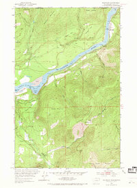
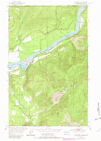
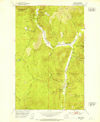
Editions of this 1952 Boundary Map
3 editions found
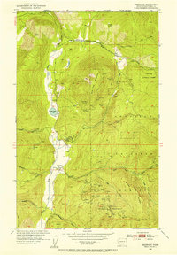
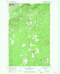
Other maps of this area

1929 · Colville
USGS Topo · 1:125,000

1933 · Colville
USGS Topo · 1:125,000
1952 · Spirit
USGS Topo · 1:24,000
1952 · Deep Lake
USGS Topo · 1:24,000
1952 · Leadpoint
USGS Topo · 1:24,000

1958 · Sandpoint
USGS Topo · 1:250,000

1963 · Sandpoint
USGS Topo · 1:250,000
1969 · Onion Creek
USGS Topo · 1:24,000
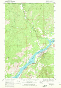
1969 · Northport
USGS Topo · 1:24,000
1984 · Colville
USGS Topo · 1:100,000